问题
I really want to keep this question short, so.. I'd like to know If Google Maps possesses detailed info, in this case I need the polygon (array of coordinates) for a particular Municipality inside a city (ie. Envigado in the city of Medellin, Co)
Is there a way to obtain this type of data?
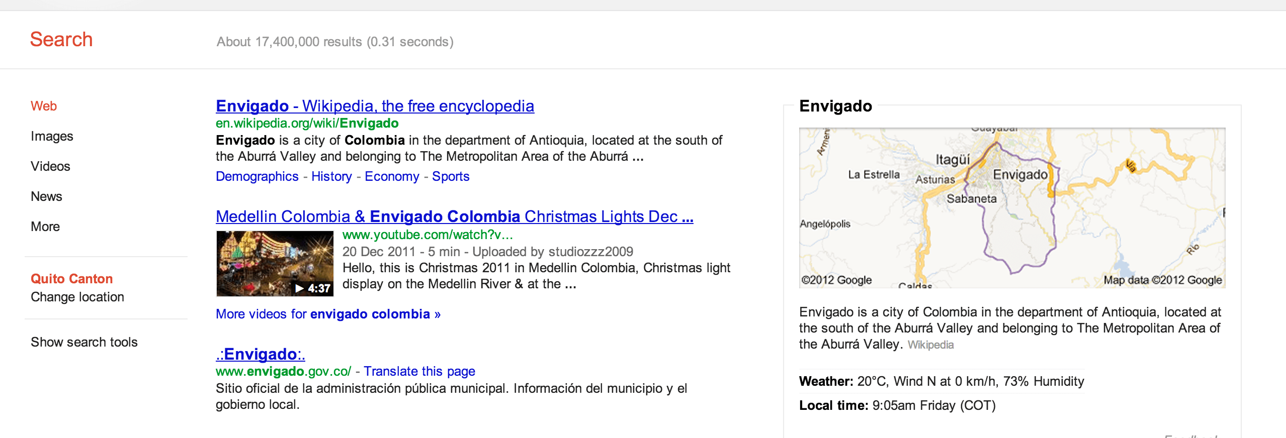
EDIT: I'm not sure if Google Maps is displaying the type of polygon geographic feature I need, as stated in an answer maybe not, but a simple query shows something interesting:
回答1:
The boundaries on the map tiles aren't (currently) available through the Google Maps APIs except via calls to the reverse geocoder (which doesn't return a polygon, just the information for that location). The Natural Earth data set contains country and state boundaries, but not the level of detail you are looking for.
You could request that feature be added (I don't see an existing request, but you should check before adding one):
http://code.google.com/p/gmaps-api-issues/issues/list
I think this is the feature request you are looking for:
https://code.google.com/p/gmaps-api-issues/issues/detail?id=109
来源:https://stackoverflow.com/questions/12630696/where-how-can-i-get-polygon-data-from-google-maps-api